Punta del Mesco, from Levanto


Edited by:
Maria Grazia Schiapparelli
Updated at: 14/06/2026
Access
Leave the Autostrada dei Fiori at the Levanto exit and drive down to the village; this is where the complications begin: you can’t drive right into the village; there are plenty of car parks, but the ones we found all required a parking disc, and there were no signs indicating whether the disc was valid on Sundays either... Just in case, we looked around the station for a place where we could park for free; on 20 April 2008 there were no problems, but the season is very late this year... I reckon it’s different when it’s warmer. Having left the car, we headed towards the sea, passing through the centre of the town, past the station underpass and then under an arch. The arch was part of the town’s 500-metre-long fortified walls, parts of which still exist, including the clock tower; in those days, the harbour was much further back than it is now; then, little by little, it silted up and the town expanded in its place.
Introduction
The route we suggest isn’t long, and it offers some stunning views; from Levanto you climb up to the castle, and then follow the coastline at an altitude of between 100 and 300 metres, with a series of ups and downs, until you reach Punta del Mesco.
Unlike the Portofino Park area, there are very few signposts here; you follow the red and white markings of the CAI trails, but there is practically no trail numbering, except occasionally at the start, with the exception of number 1, which we have come across a few times, and which is thehigh route from Levanto to Porto Venere, a 12-hour trek. At junctions we found very few directions, on ancient signs, often rusty and scrawled over; if you wish to follow routes other than numbers 1 and 10, which descends from Punta Mesco to Riomaggiore, do not venture out without a good map; you won’t get lost, but going up and down pointlessly is a nuisance. There were lots of foreigners – French, Germans, Scandinavians – and no signposts in English at least.
Description
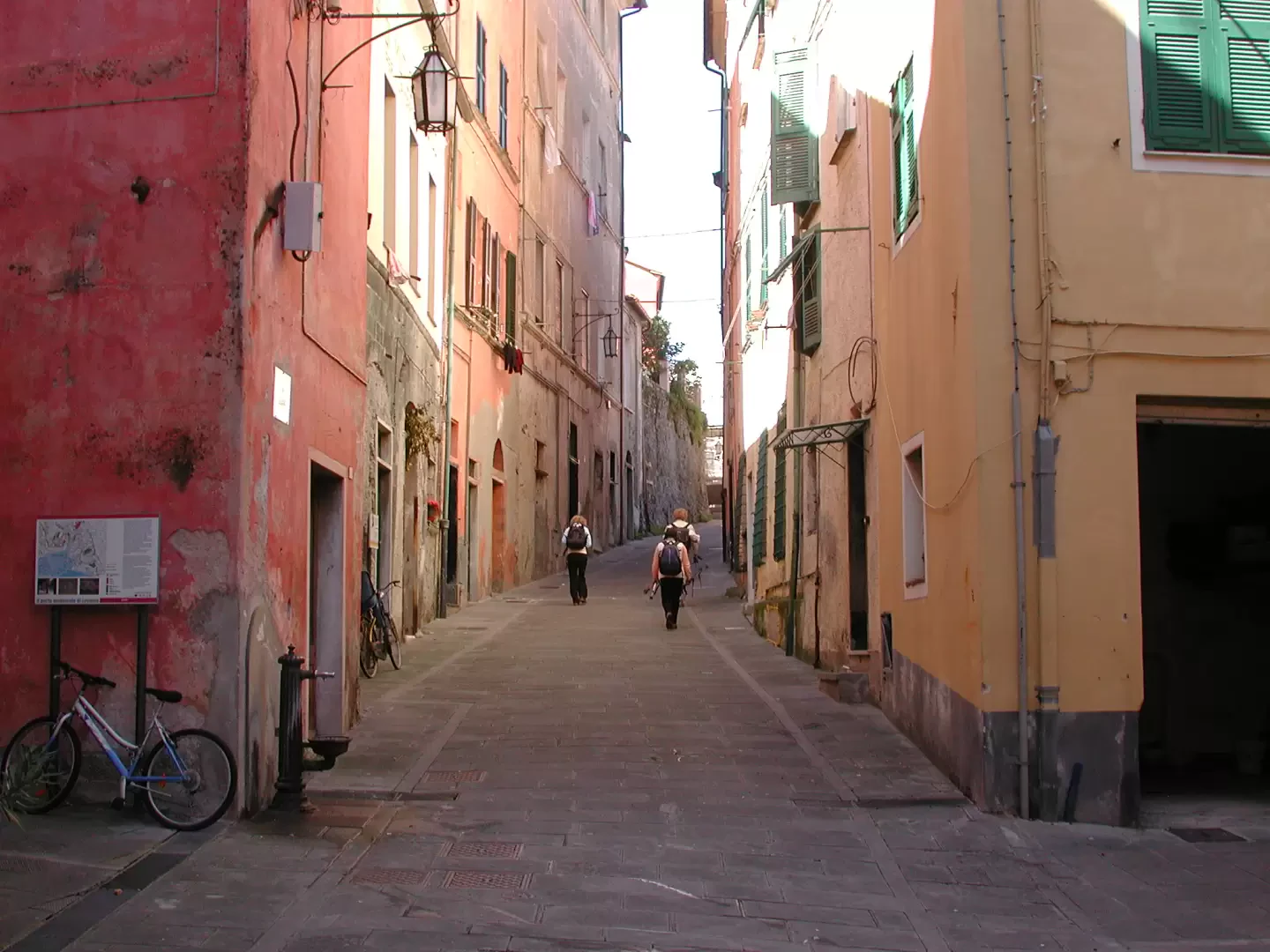
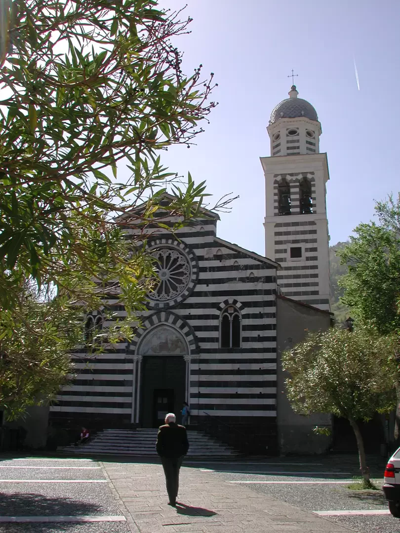
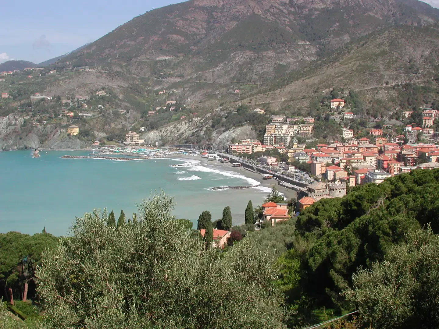
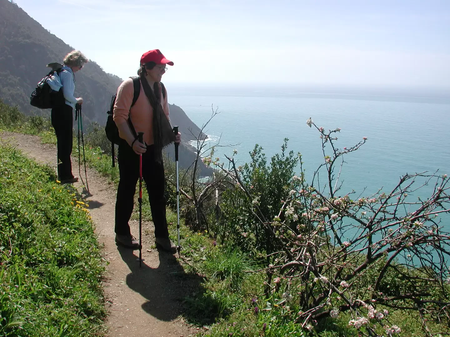
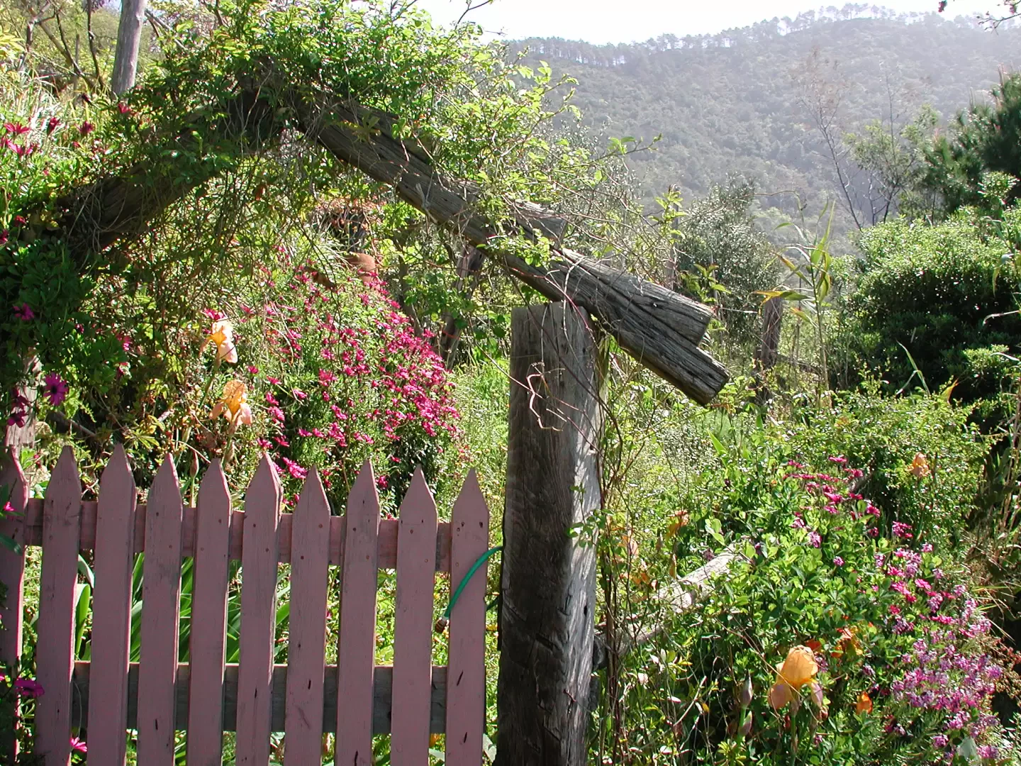
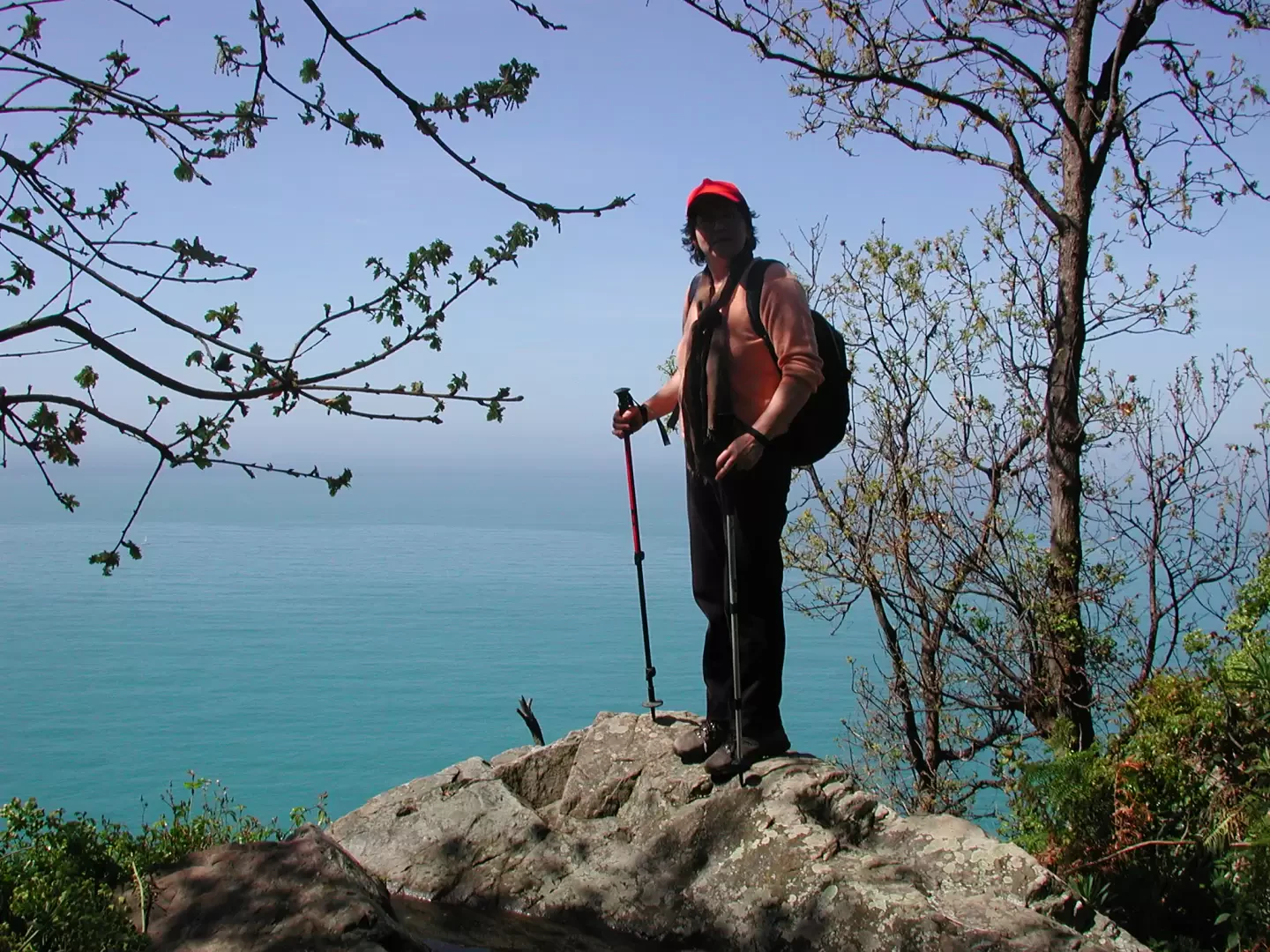
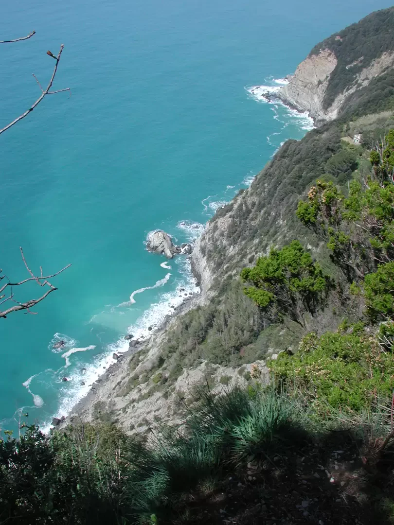
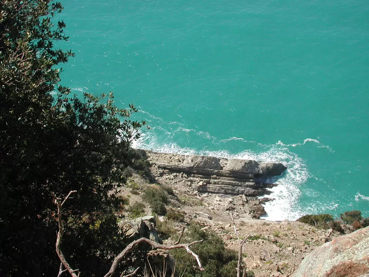
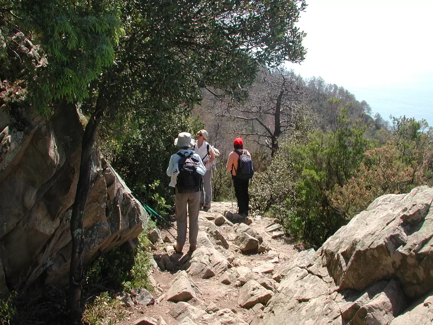
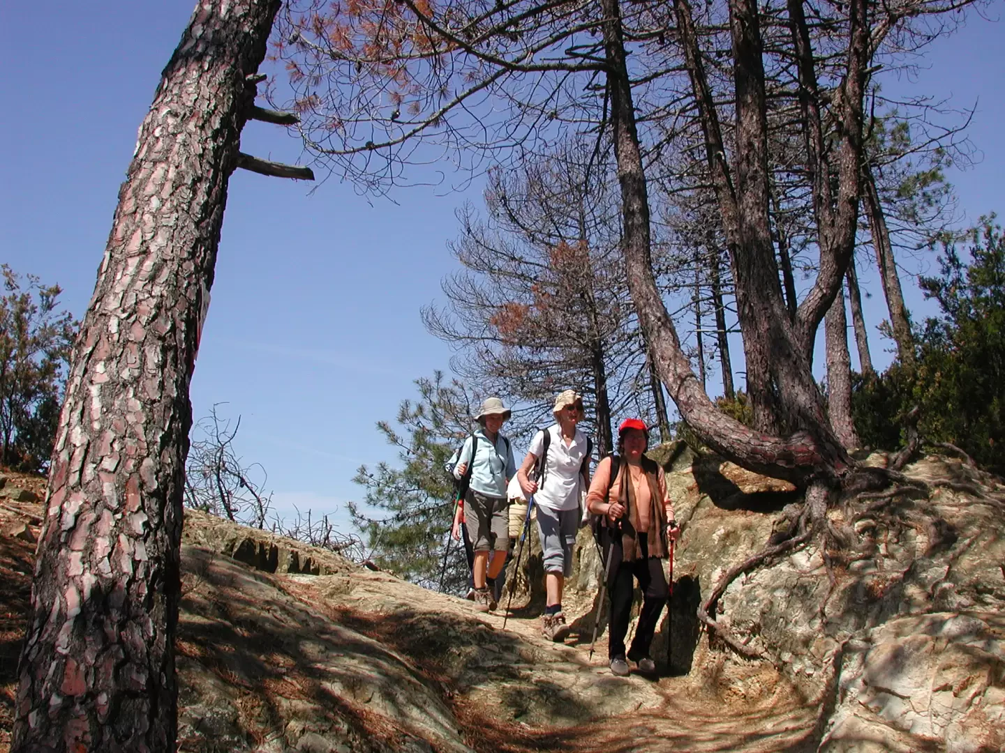
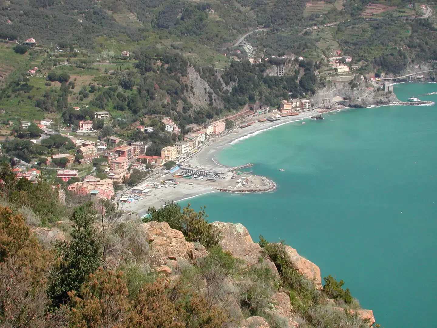
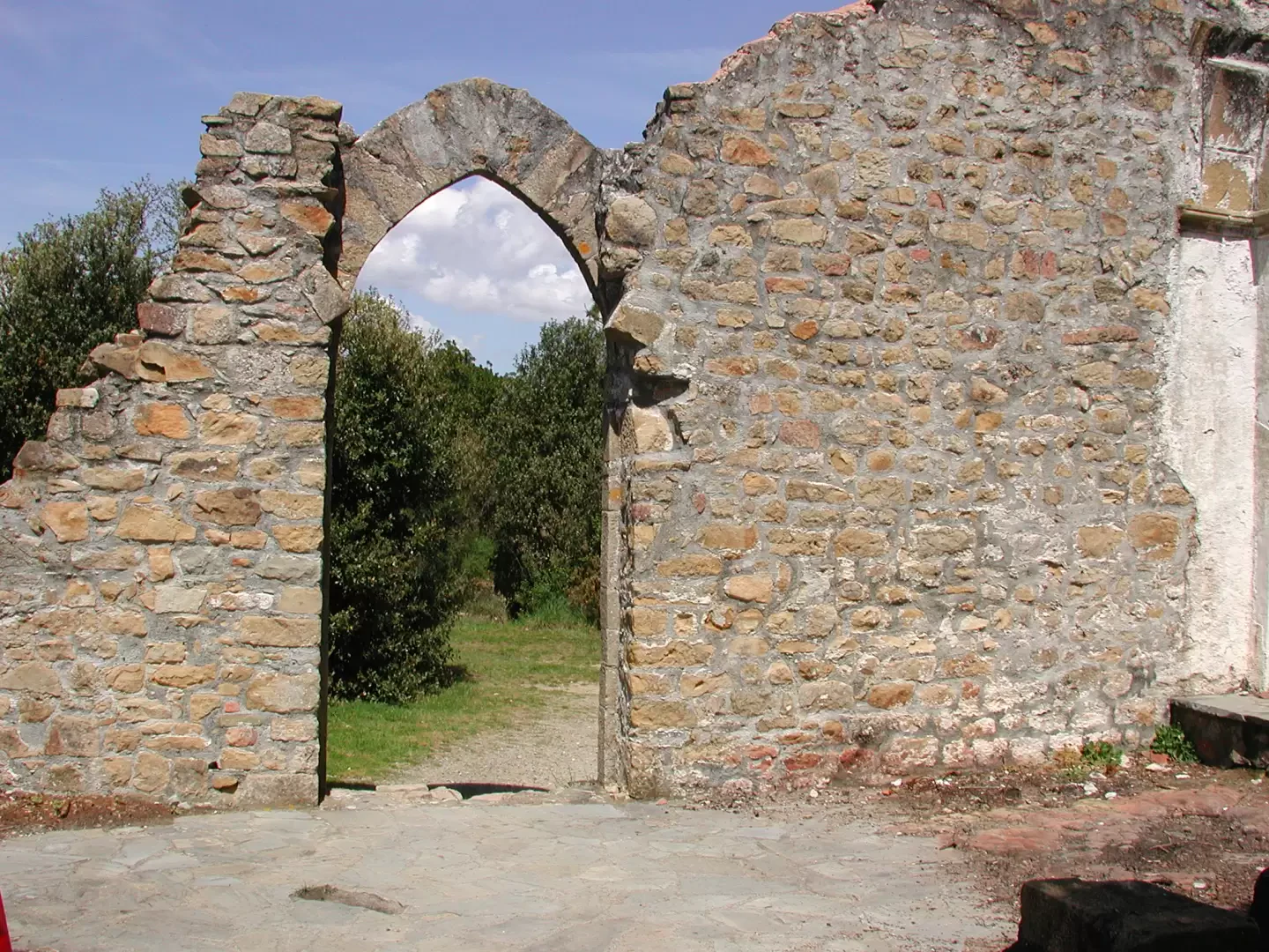
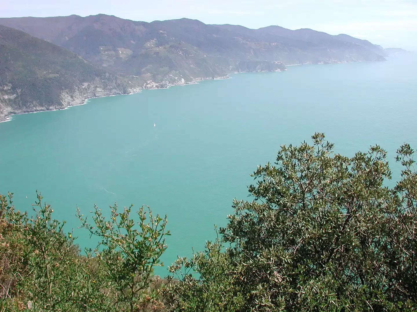
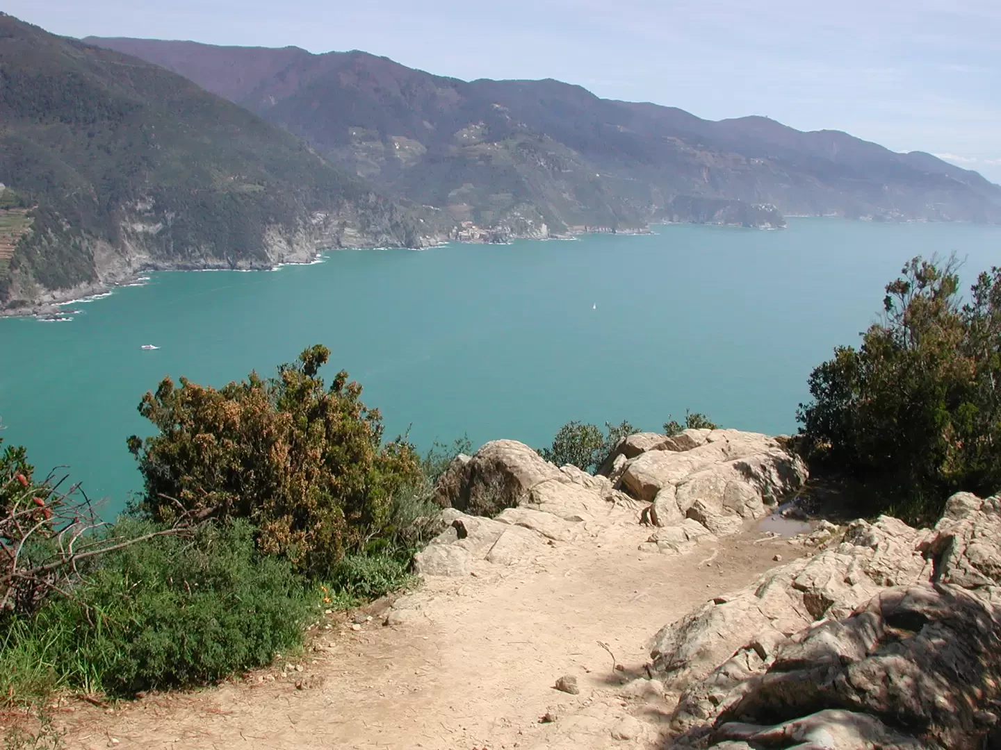
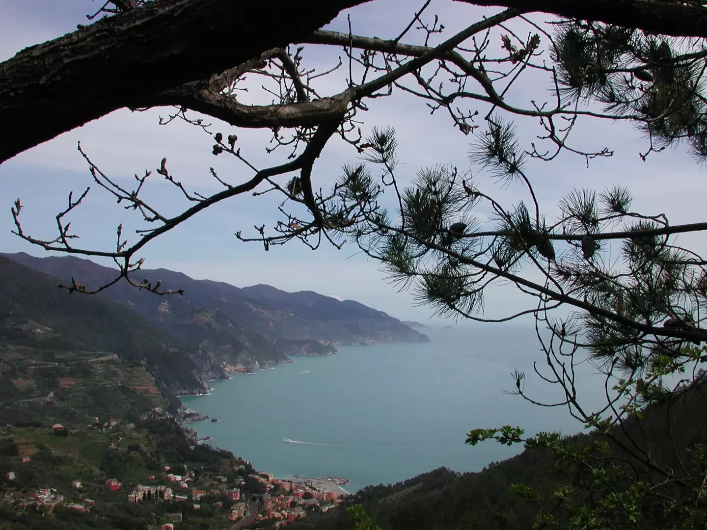
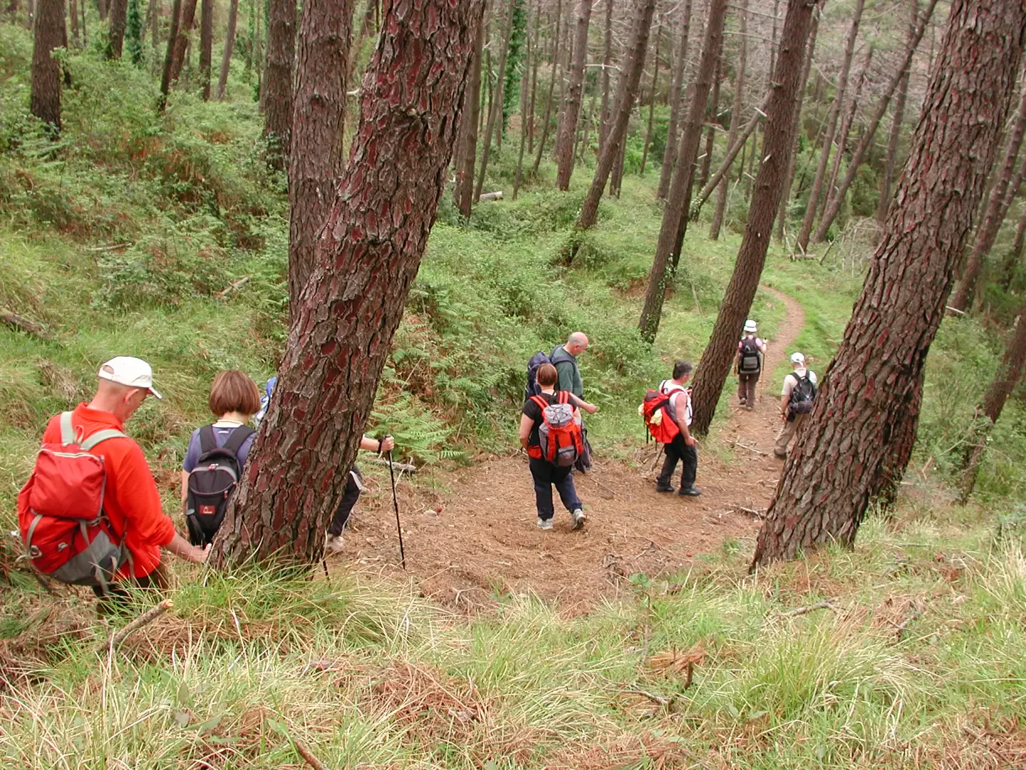
Leaving your car near the station means a long walk to the starting point (at least 20 minutes), but it gives you the chance to enjoy a lovely stroll through the old streets of the village. Go through the railway underpass and head down towards the sea; from the gardens, trees laden with fragrant lemons catch your eye, and every now and then the road is crossed by beautiful wildcats, very common in Liguria. Continue until you come to an arch, the Arco della Porta dello Stagno, through which you enter Via Garibaldi in old Levanto, following a lovely cobbled street, first slightly uphill and then downhill; we arrive at the main square, cross it and follow the narrow street leading to the church of Sant’Andrea, a fine 13th-century Gothic building with a splendid rose window, its façade black and white like so many Ligurian churches; The church stands on a hilltop, below and to the north-west of the castle, visible from below. Our path runs behind the castle, which can be reached via a flight of steps starting in front of the church. As we climb, the view opens out over the village. Beyond the castle, we walk alongside low walls from which clusters of flowering wisteria peek out; we pass by beautiful houses, along terraces planted with olive trees, whilst below us the sea crashes against the cliffs, which are almost sheer in places. We climb some steps, then walk along long flat stretches; at a certain point, we follow a slightly uphill section on a tarmac road, which we then leave behind, following the signs along a small road to the right, downhill, which then becomes a narrow path. The route enters a beautiful holm oak wood, then climbs over somewhat stony ground, before descending again into an area of sparse pine trees; all around us are many fallen tree trunks, probably toppled by the wind or old fires. The path is shaded, and in some places overlooks the blue-green sea. The final stretch, after a picturesque refreshment stop, is a continuous but not strenuous climb, and here we are at the Colletto del Mesco, from where we look out over the Cinque Terre; below us Monterosso, and then Vernazza clearly visible, whilst the other villages are distant or hidden behind the inlets; in the distance, the island of Tino. Descend about twenty metres towards Monterosso, then turn right onto the path leading to Punta Mesco and what remains of the church of Sant'Antonio; this promontory was home to an Augustinian monastery, which certainly existed as early as the 13th century but has even older origins. When it was abandoned, it fell into ruin, and the final blow was dealt by the Merchant Navy, which used the stones to build the now-abandoned lighthouse. The view of the Cinque Terre from here is spectacular (2½ hours from the car). Retrace your steps to the Mesco junction, and instead of descending via path 10 to Monterosso, head north along the continuation of path 1; here we make our way through tree heath and a beautiful carpet of yellow broom. The climb is gentle, slightly to the left of the ridge line, until we reach the Bagari pass, behind Monte Vé or Focone, whose slopes we cross to the right after descending slightly to a small pass; Our map shows several paths, but we found no detours until the obvious one at the pass (30 minutes from Mesco), and locals confirmed that some of the routes are now impassable. The stretch behind Monte Vé overlooks Monterosso and its fields, some of which are abandoned; there is a fine view of the gulf below, and the railway tracks emerging from one of the tunnels in the area are also clearly visible. Upon reaching the pass, recognisable by the emergency signal, we find three paths: one climbs steeply (1) up to the Gritta Pass; another, number 22, crosses flat to the right and descends to Levanto along the Costa Sopramare; the third veers slightly left into the gully that starts from the pass’s signal post, and this is our route 14, marked with yellow signs: the first section is poorly marked, but the trail becomes increasingly distinct as you go on. We walked it after a few days of rain, and it was slippery in several places, due to the carpet of pine needles in the beautiful initial woodland, and further down because of the damp ground; at the start, you have to step over a few old fallen tree trunks. Along the path, there are bushes of wonderfully fragrant thyme, which, when barely brushed, fill the air with a pungent aroma. The descent is steep; the sea won’t be visible for a long stretch, as we are behind Monte Vé, to the north. We reach a dirt track, which then becomes tarmac; we follow it for a short stretch and take care to turn right at a junction, back amongst olive trees and a few houses, with the sea peeking out beyond Levanto. We descend until we join a path between high stone walls, paved and slippery, and finally reach the village (1 hour from the junction behind Monte Vé), alongside ancient ruins, crossing a small bridge and then passing under the arch of an old tower. In short, continuing southwards, we reach Levanto’s main square; you can walk right down to the water’s edge, passing through the gardens; one last glance at the beach and then we retrace our morning route and return to collect our car (4 hours and 30 minutes in total). In reality, the walk could be done in less time, but we have taken into account the ever-changing views that constantly catch the eye, extending the walking time almost without the hiker realising it... Besides, we’re here to enjoy the scenery, not to race...
Photo gallery

Comments (0)
Sign in to leave a comment